The Rephotographic Survey Project
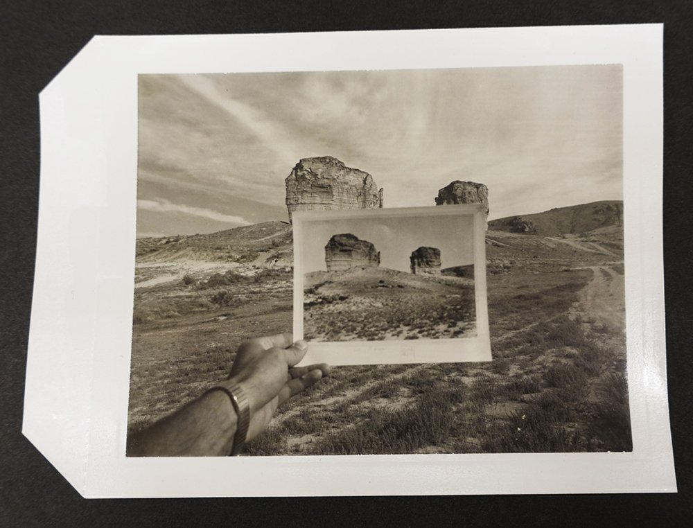
The Rephotographic Survey Project began in 1977 as a collaboration between Ellen Manchester, Mark Klett, and JoAnn Verburg. The idea was to find the locations of historical nineteenth-century photographs of the American West originally made for government sponsored surveys in the 1860s and 70s, revisit those places and, as precisely as possible, make new photographs from the original vantage points.
The survey work of the nineteenth century was a significant baseline to revisit in several ways. The Hayden, King, Wheeler and Powell surveys represent the earliest photography of the West at a time before most settlers expanding from eastern locations moved into and altered the territory. This period corresponds to an important time in the early history of photography when it became technically possible to use the materials needed to make photographs in the field. The photographs made by William Henry Jackson, Timothy O’Sullivan, John K. Hillers, William Bell, A. J. Russell and others also became key to establishing subjects and perspectives on the Western landscape that were precedent setting, influencing how the land would be seen and represented by generations to come.
The RSP was founded on curiosity about how Western lands have changed over more than one hundred years of human intervention, and what could be learned about how historical photographers worked and made their images. The project was undertaken with an interest in conceptual art practices.
The RSP worked to make new photographs based on the nineteenth century surveys during three field seasons between 1977 and 1979. Photographers Gordon Bushaw and Rick Dingus contributed to the project during the second and third years. Altogether, 122 sites were rephotographed in Arizona, California, Colorado, Idaho, Nevada, New Mexico, Utah, and Wyoming. The project’s book, Second View: The Rephotographic Survey Project, was published in 1984 by the University of New Mexico Press.
Previous to the RSP, “repeat photographs” were made by scientists to compare changes over time to the subjects of earlier photographs. The methods geologists used to accurately find the exact locations of landscape photographs formed the basis for the RSP’s work, and the term “rephotography” was coined by the project to mean accurately repeating an original photograph’s camera position, its visual composition, framing, time of year, and time of day while also acknowledging the participation of the photographer in making choices that influence the ways photographs may be interpreted. The RSP tried to duplicate the physical characteristics of the original photograph while also acknowledging the complex circumstances that photographs are made and viewed under.
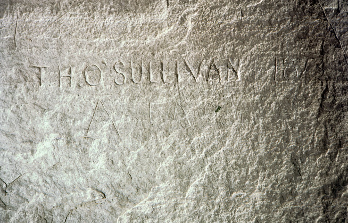
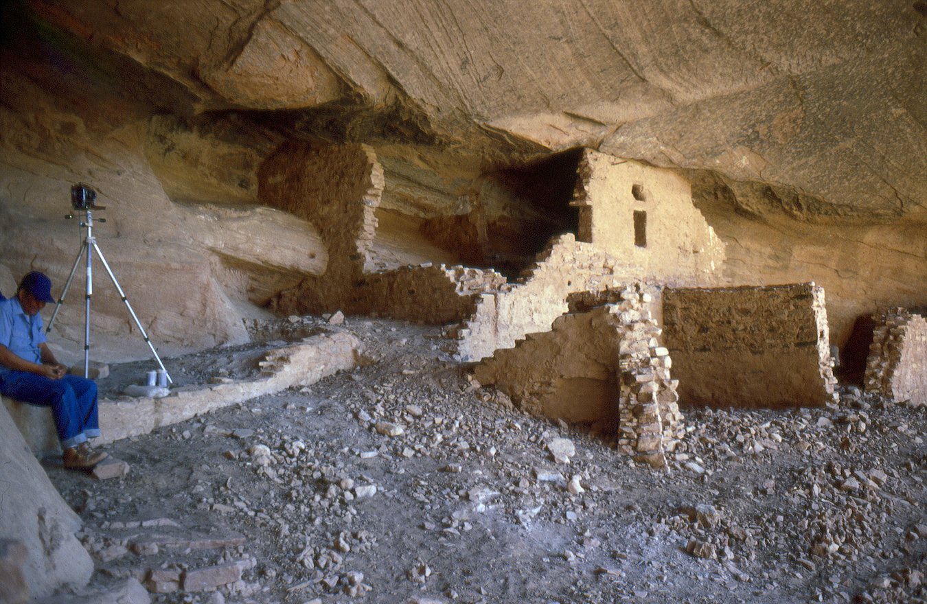
The RSP’s work has been exhibited and published extensively, and the work has been used to support research in multiple fields since the 1980’s. The project welcomes non-commercial uses of its work in the fields of art, science, and the humanities. Full sets of the RSP’s prints can be found at The Library of Congress in Washington DC, The Harry Ransom Center at the University of Texas at Austin, and the Center for Creative Photography at the University of Arizona in Tucson.
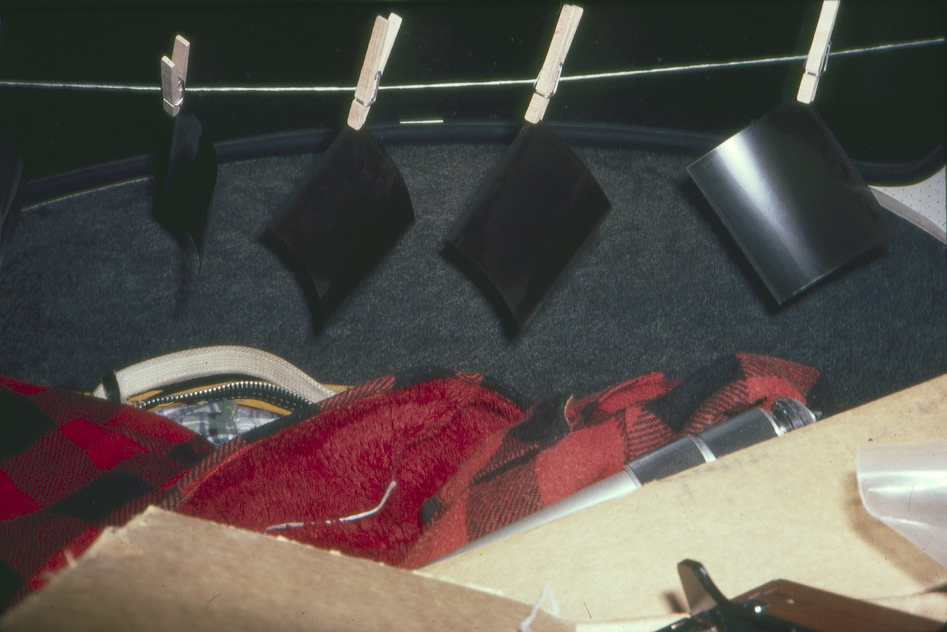
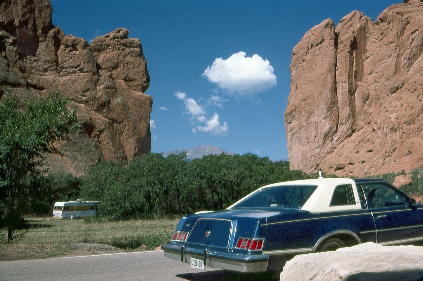
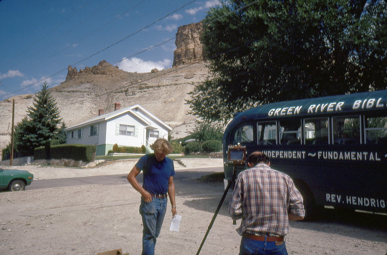
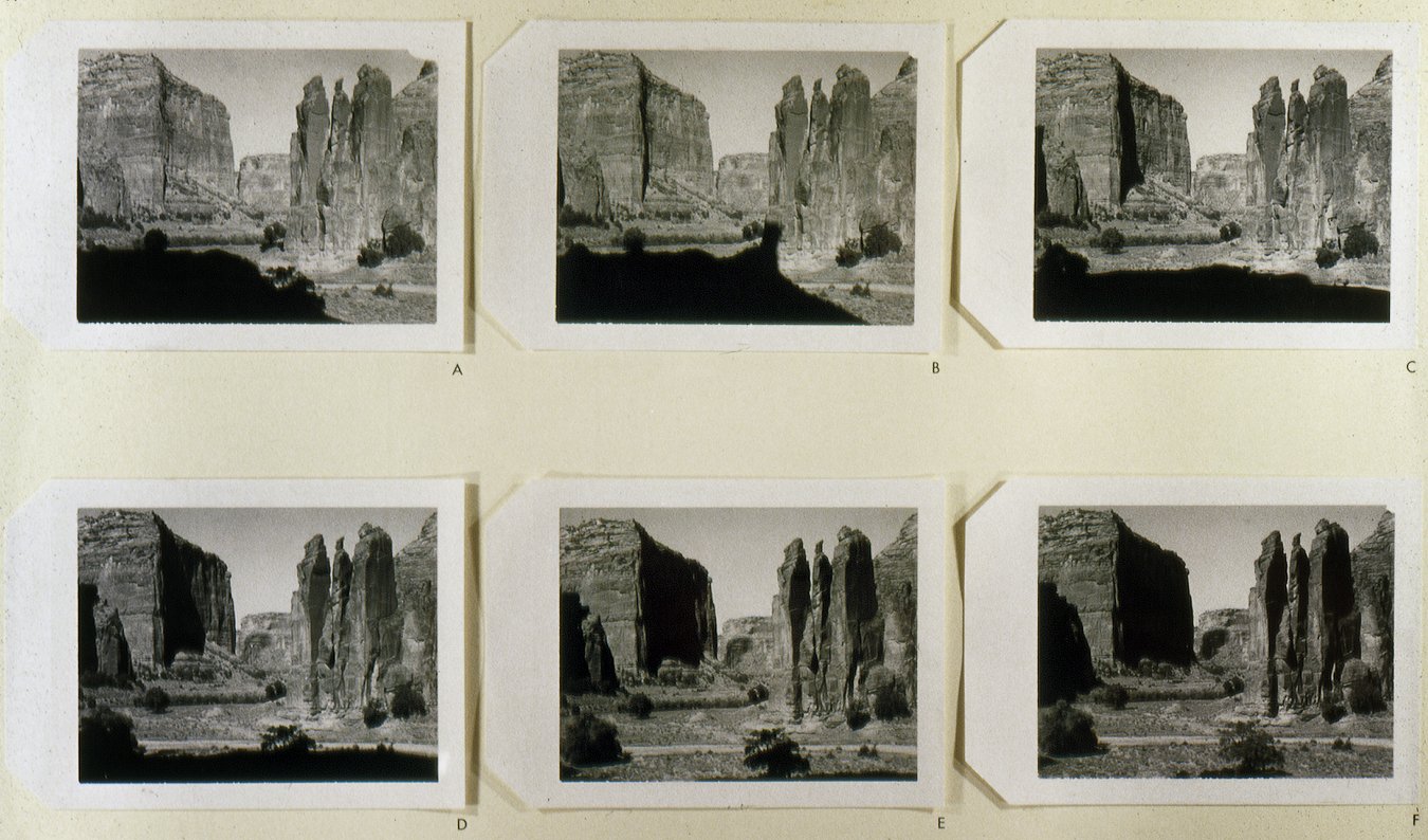
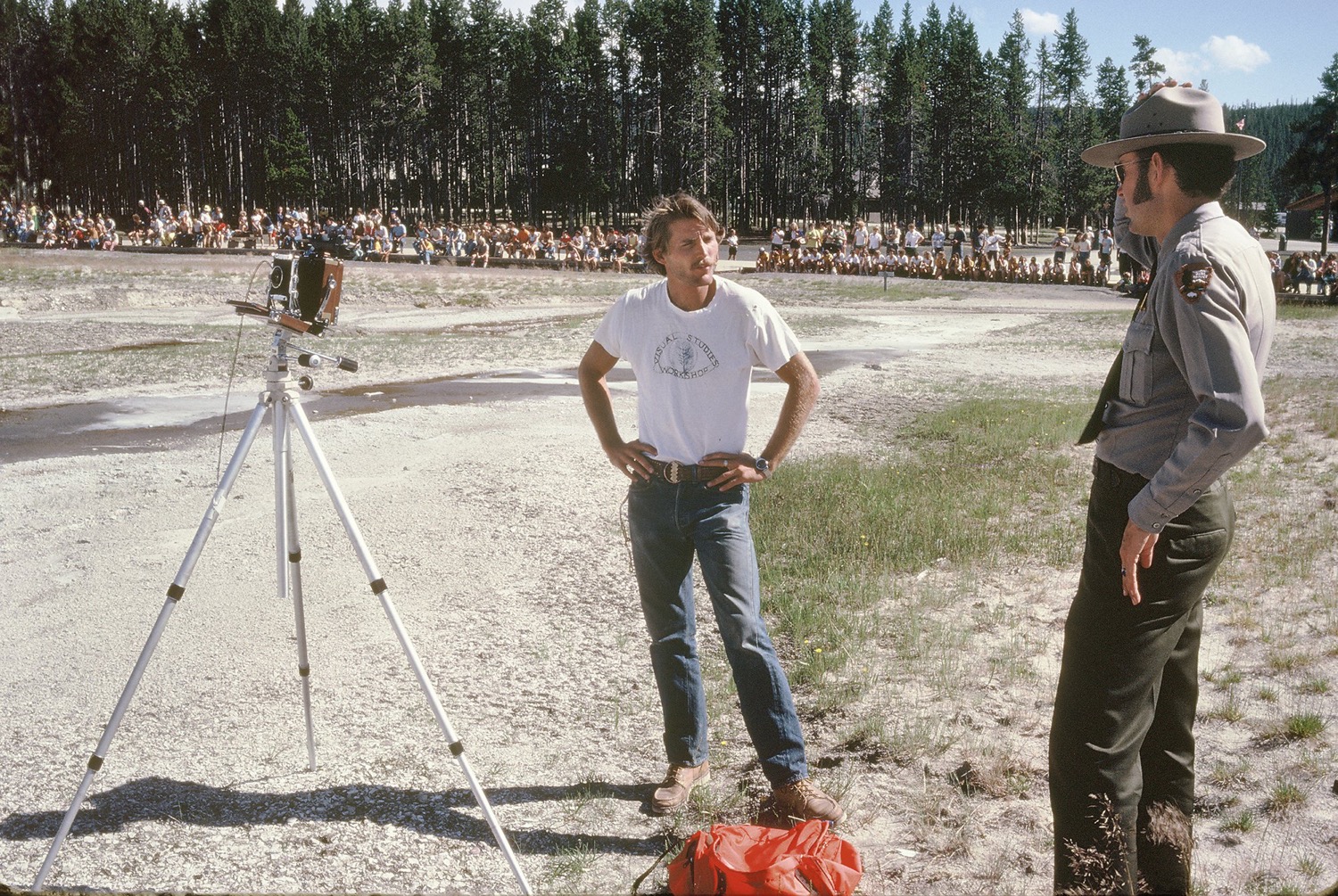
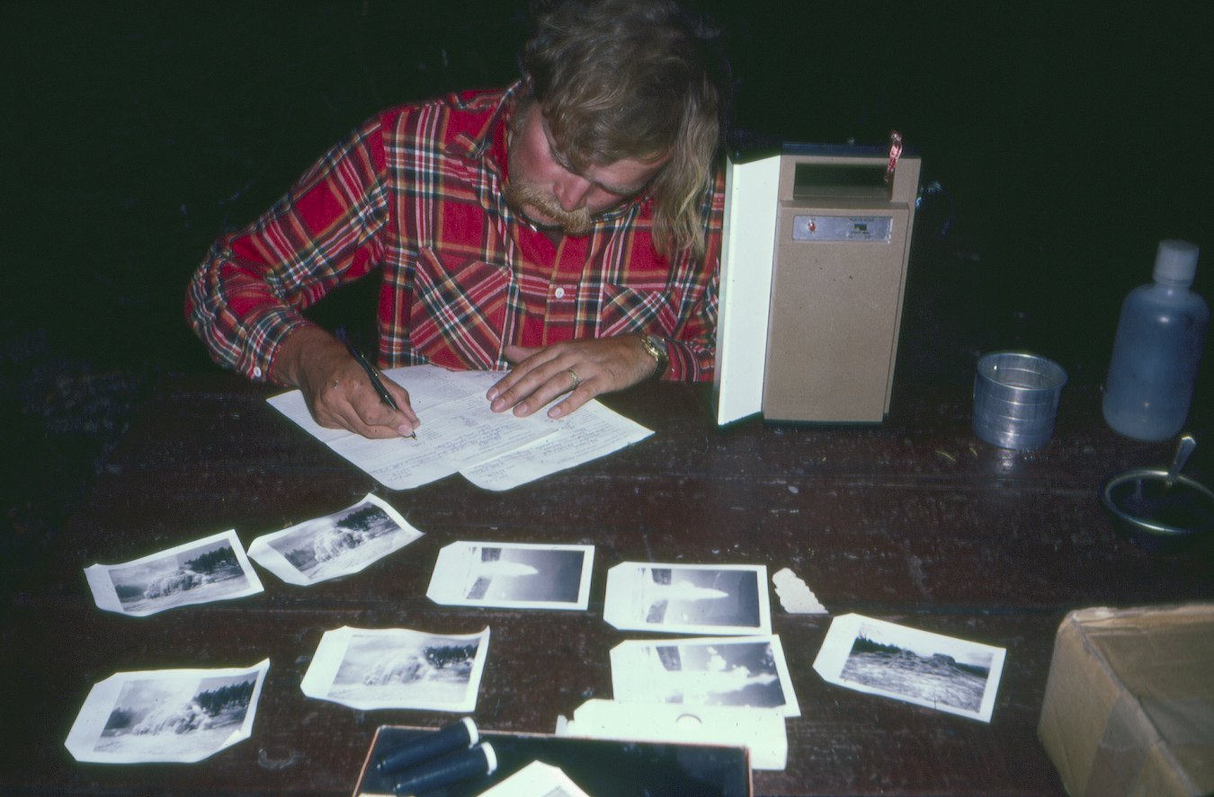
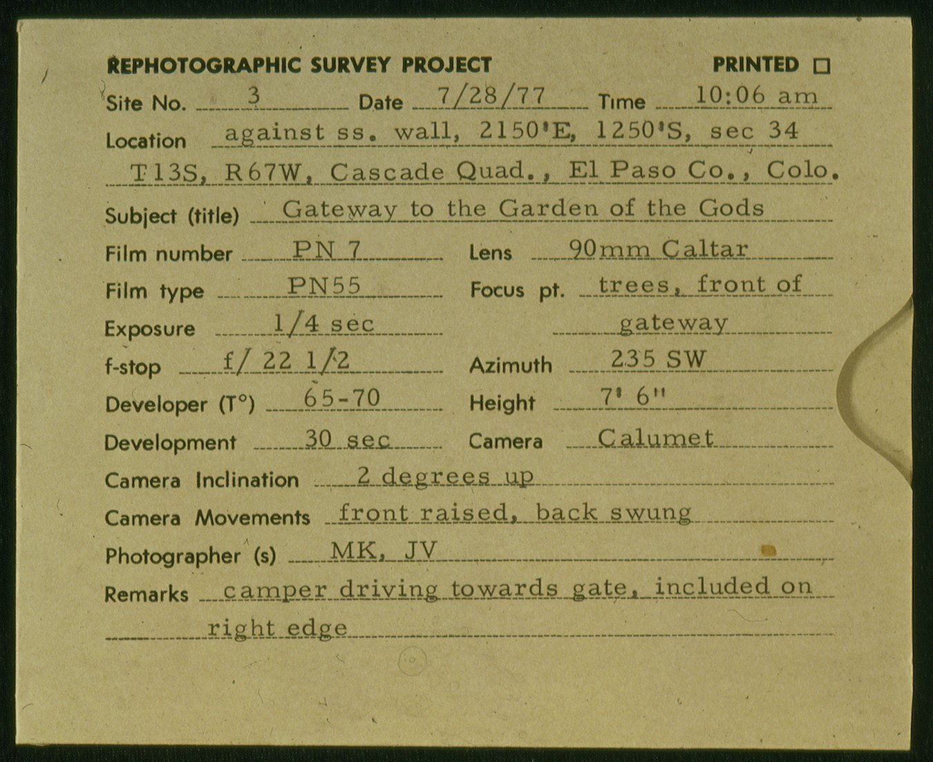
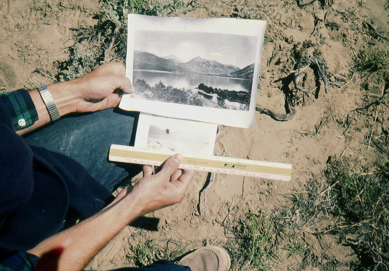
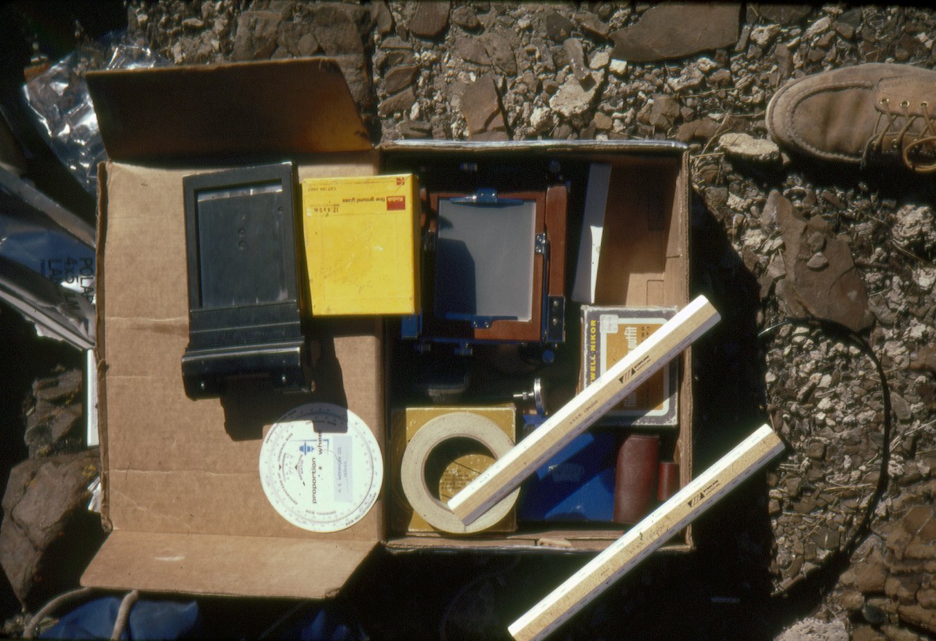
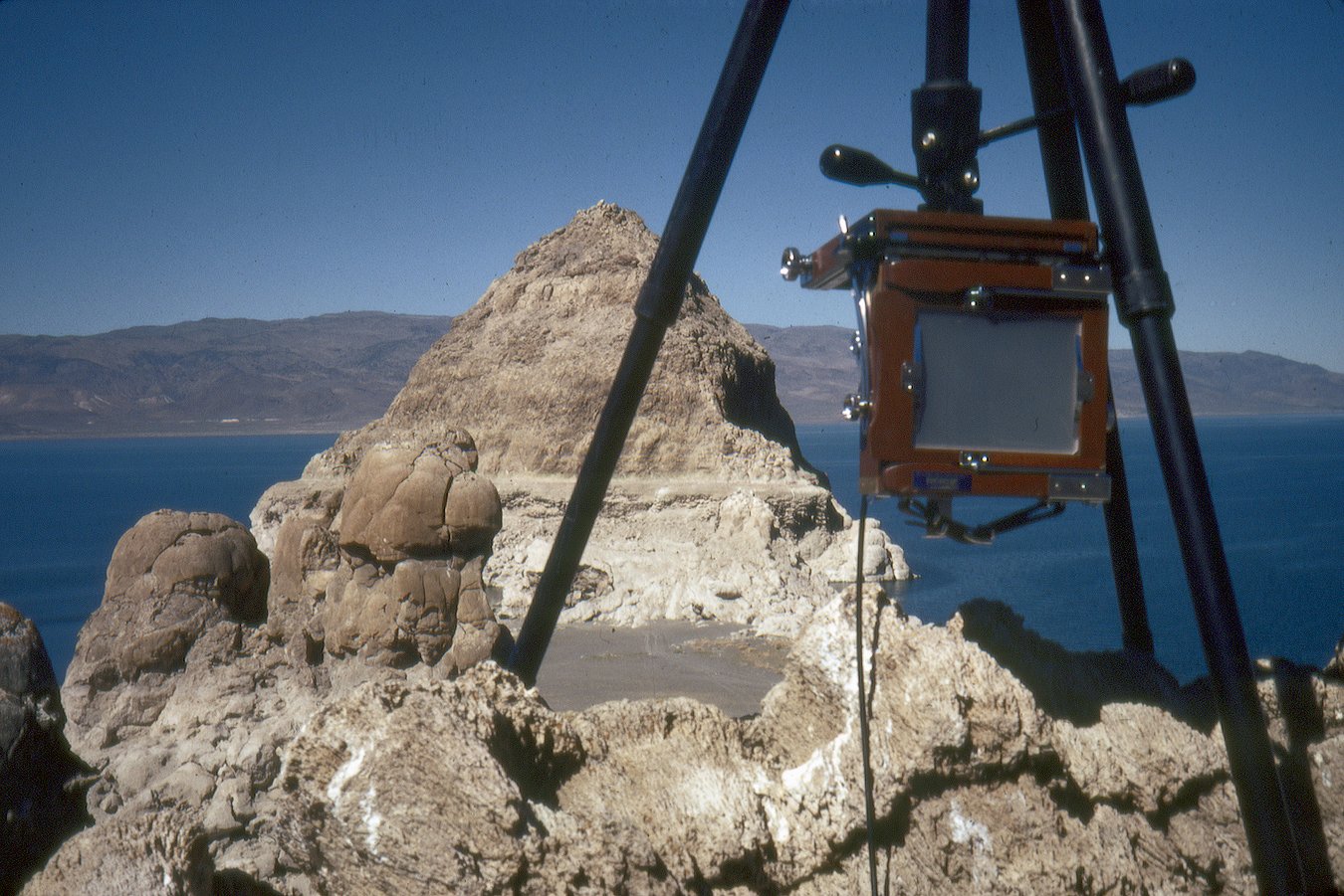
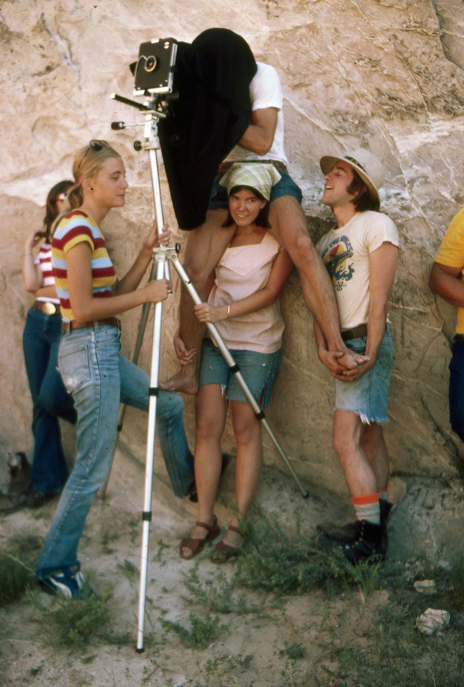
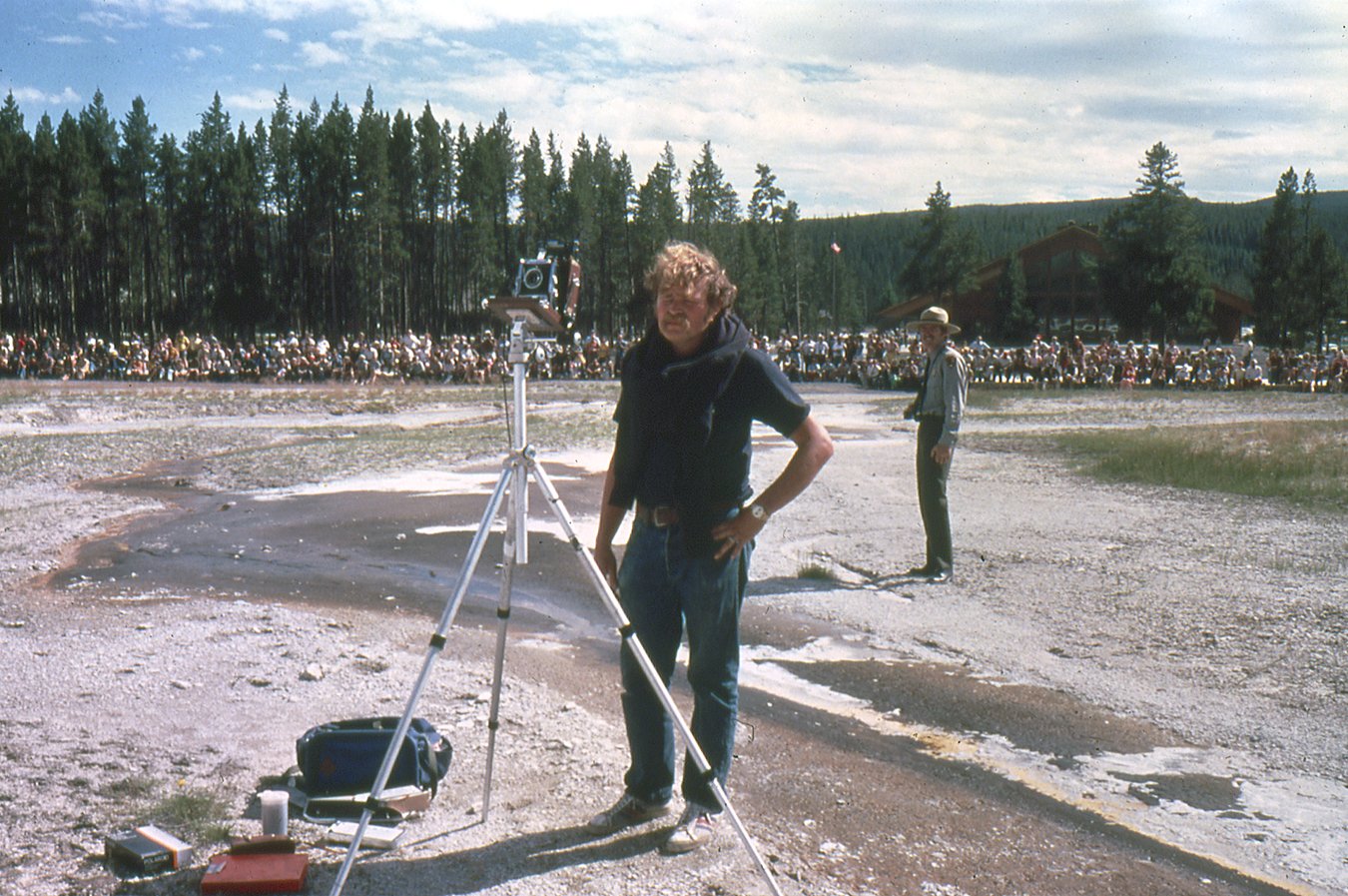
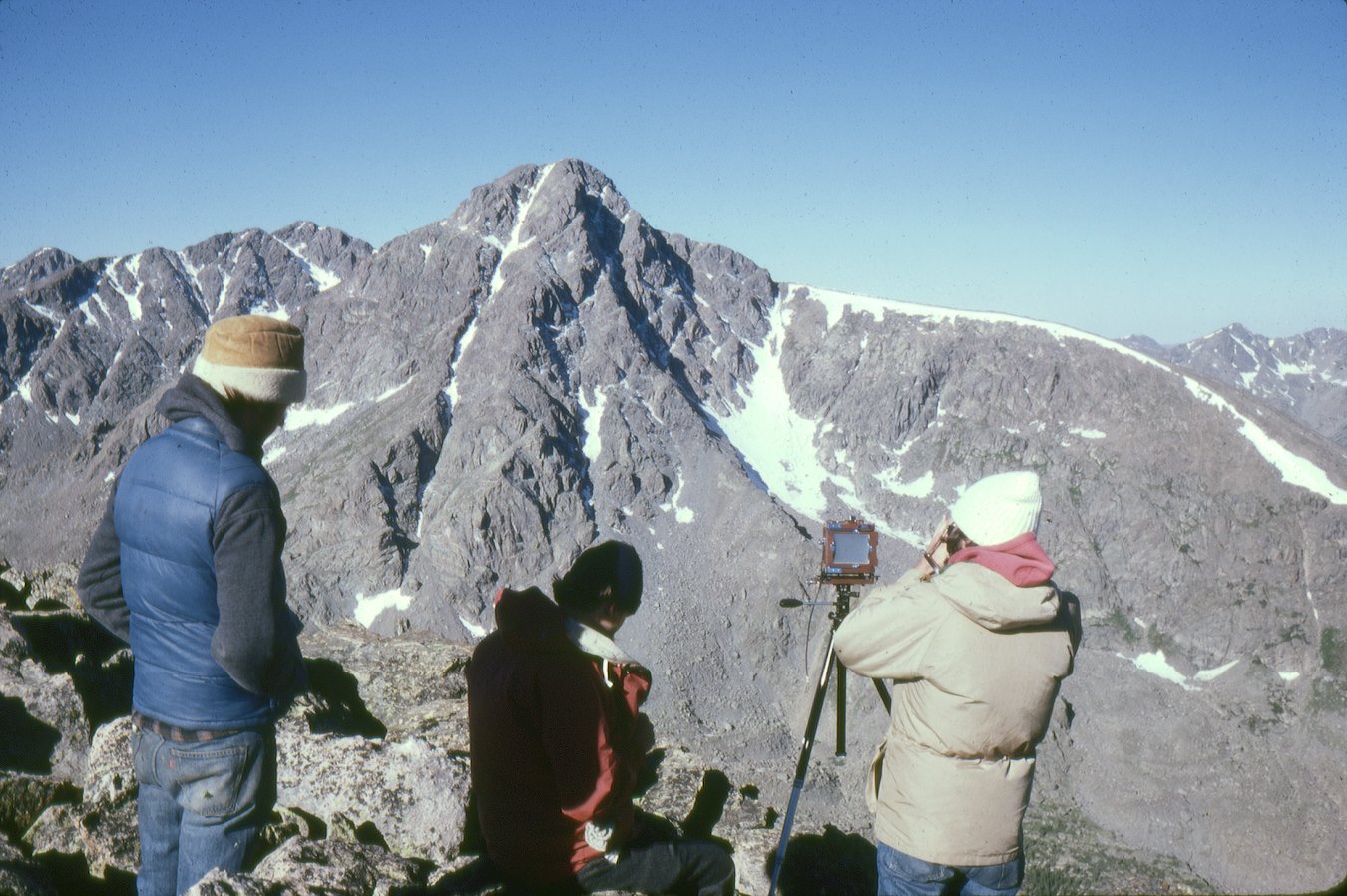
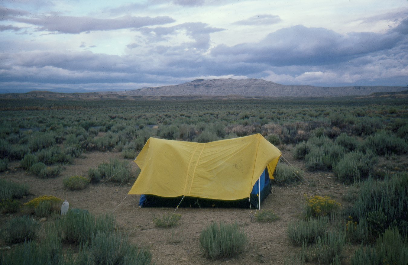
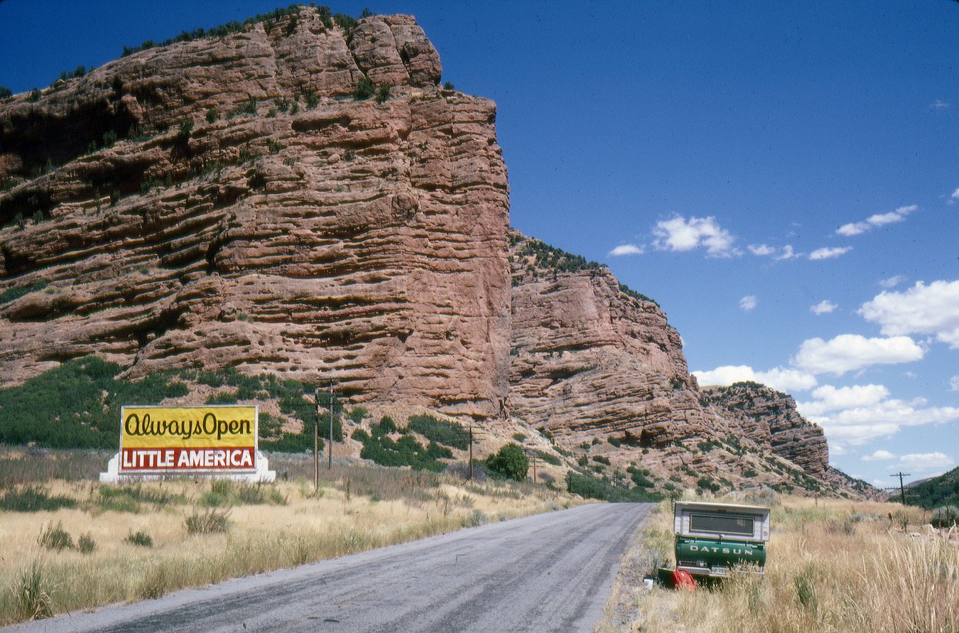
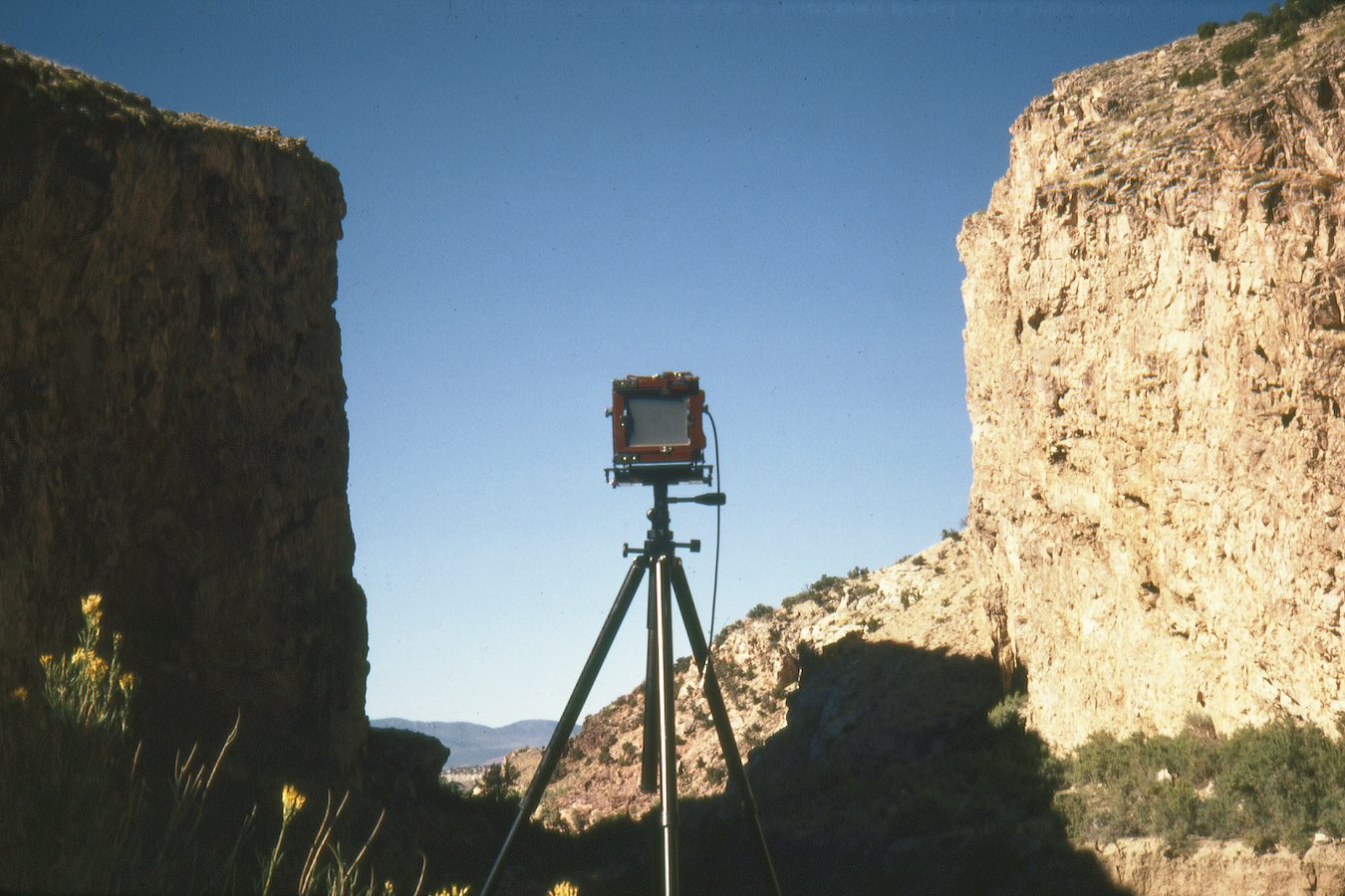
In the field, 1977–1979Photographs by Mark Klett for the Rephotographic Survey Project
In 1997 the Third View Project returned to many of the RSP sites — adding a third photograph to the sequence and using new technologies to explore what rephotography could reveal.